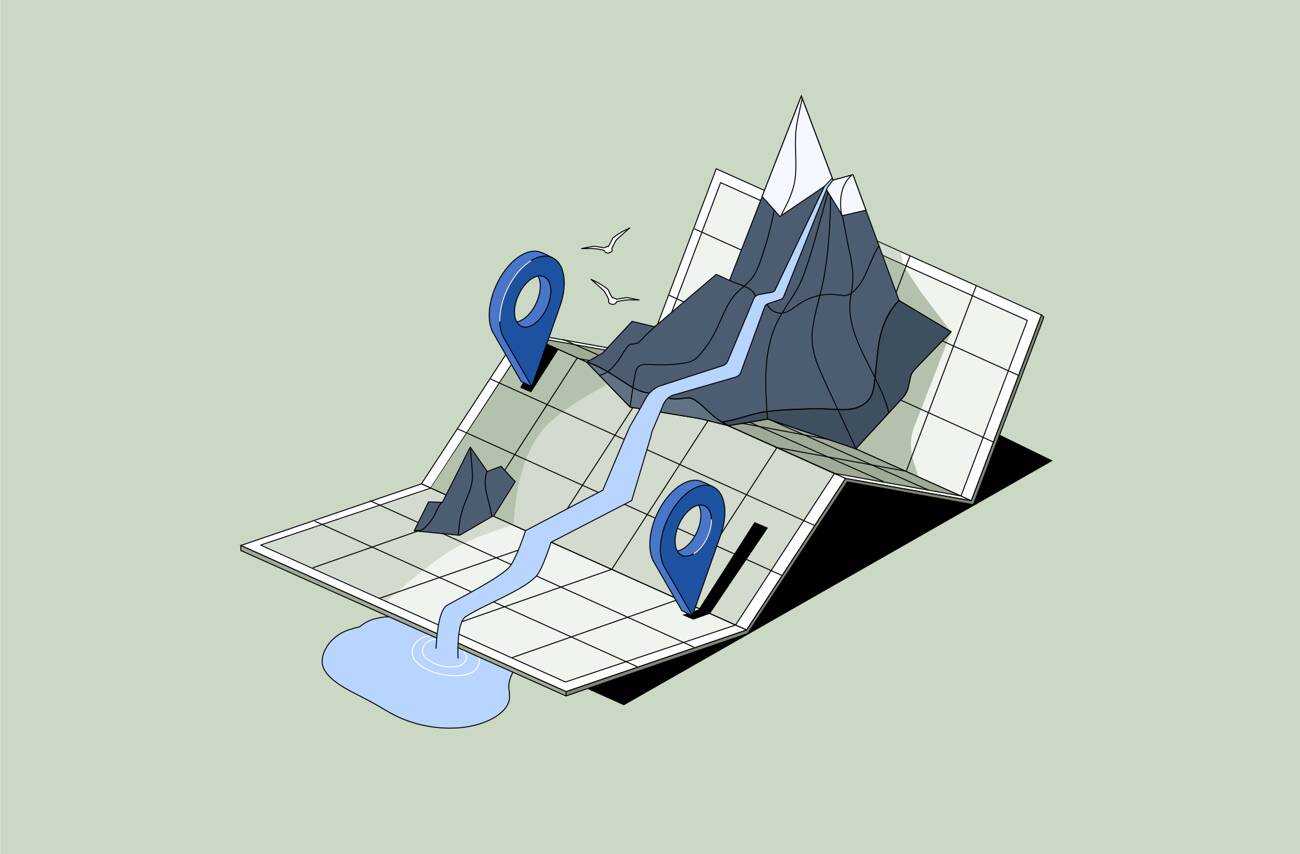
Geotagging in Digital Asset Management (DAM) means adding location information to digital assets so teams can organize and search files based on where they were created or what place they relate to.
Instead of just tagging a photo “bridge inspection,” geospatial tags allow you to link it to a specific site, city, region, or set of GPS coordinates. That location becomes part of the asset’s metadata — making it searchable by place, not just by keyword.
In simple terms: geotagging adds “where” to your digital library.
For many organizations, place is everything. Projects happen in real locations. Events occur in specific cities. Inspections happen at exact sites. Fieldwork documents physical environments.
GPS-powered tagging helps teams:
When libraries grow, map-based organization becomes far more intuitive than endless folder browsing.
Location-based asset management usually works in one of three ways:
Once location metadata is attached, teams can filter by city, region, coordinates, or even explore assets visually on an interactive map.
Instead of asking “What did we call this file?” you can ask “What do we have from this location?”
Standard tags describe what an asset is.
Geospatial tagging describes where it belongs.
For example:
Both are useful. Together, they create powerful search capabilities.
Geotagging features are especially valuable for:
Any organization tied to physical locations benefits from structured, map-based asset organization.
Daminion supports geospatial tagging by allowing teams to associate assets with geographic locations and explore them visually.
This makes it easier to manage projects, sites, and region-based content without relying solely on folders or naming conventions.