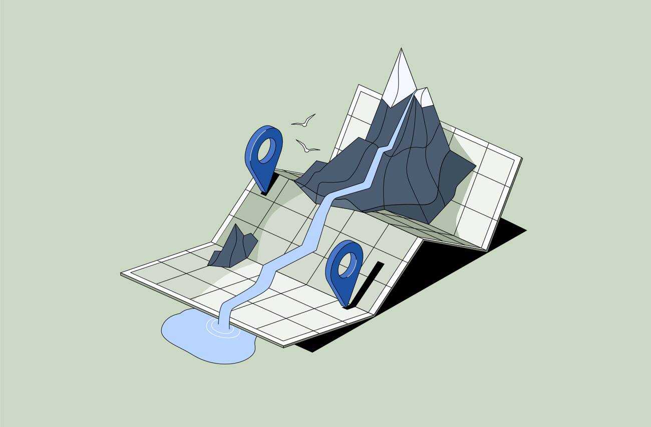
What is DAM with Geotagging?
Digital Asset Management (DAM) with geotagging is the ability to store, organize, and retrieve digital files – typically images and videos – based on their geographic location. Geotagged files contain metadata with latitude and longitude coordinates, allowing users to search and visualize content not just by keywords or categories, but by where the asset was captured.
This feature is especially useful for teams working in the field, across regions, or on location-based projects — where a map view is more meaningful than a folder structure.
What Geotagging Adds to a DAM System
When a DAM platform supports geolocation metadata, it can:
- Extract GPS data embedded in photos and videos from smartphones, drones, or cameras
- Display media assets on an interactive map within the system
- Enable radius or region-based search (e.g., “all photos within 50 km of Brisbane”)
- Group visuals by project site, location, or administrative region
- Allow manual tagging of older or untagged assets with location data
- This turns a static archive into a dynamic, location-aware media library.
Case Study: How an Environmental Agency Uses DAM with Geotagged Assets
A real-world example comes from West Gippsland Catchment Management Authority (CMA) — an Australian environmental agency managing thousands of field images tied to specific rivers, wetlands, and conservation zones.
Before implementing Daminion, their growing archive of visual data was difficult to navigate. Searching for photos from a specific site often required manually checking folders or filenames.
By adopting Daminion’s on-premise DAM with integrated geotagging and map view, they were able to:
- Instantly locate assets by project area or coordinates
- Track site conditions over time using before-and-after comparisons
- Build accurate reports with visuals linked to exact field locations
- Eliminate duplication by showing which sites were already photographed
Today, West Gippsland CMA manages a clean, organized, and searchable media library with full geospatial context — supporting both internal workflows and external reporting.
Read the full case study →
Who Benefits from Geotagging in Digital Asset Management?
- Architecture & Construction
Track job site progress, inspections, and field visits by location.
- Environmental & Conservation Organizations
Manage visuals from nature reserves, restoration zones, and floodplains.
- Government & Infrastructure Teams
Document repairs, roadworks, utilities, or public spaces tied to geographic areas.
- Tourism Boards & Destination Marketing
Organize and reuse photos and videos by region or attraction.
- Event & Media Teams
Archive visuals captured across distributed venues or city-wide activations.
Geotagging Features in Daminion DAM
Daminion makes it easy to manage geolocated assets from the moment they’re uploaded:
- Interactive Map View — Visualize and browse assets by location
- Search by Coordinates or Place — Combine geolocation with tags, dates, or file types
- Manual Geotagging — Add or correct coordinates for legacy files
- On-Premise Deployment — Keep geospatial data secure on your own infrastructure
- Combine with AI Tagging — Add visual context and smart metadata in one streamlined system
If your team works with location-specific content, a DAM system with geotagging isn’t just helpful – it’s essential.