West Gippsland Catchment Management Authority
Managing Environmental Media and Spatial Data with Daminion
With Daminion, West Gippsland CMA built a centralized photo library integrated with spatial tools — cutting search time from days to minutes.
Environmental ManagementGISGovernment
About West Gippsland CMA
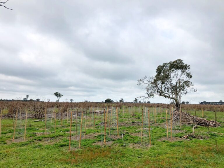
The West Gippsland Catchment Management Authority (CMA) is responsible for managing and safeguarding the natural resources of Victoria’s West Gippsland region. Its mission is to ensure long-term sustainability, biodiversity conservation, and responsible land and water management.
By combining scientific knowledge with community collaboration, West Gippsland CMA works to balance human activities and environmental protection, preserving the region’s waterways, ecosystems, and natural beauty for future generations.
By combining scientific knowledge with community collaboration, West Gippsland CMA works to balance human activities and environmental protection, preserving the region’s waterways, ecosystems, and natural beauty for future generations.
INITIAL SETUP
Before Daminion: Searching for Photos Could Take Days
Given the vast geographical area West Gippsland CMA oversees, using spatial tools and maps is crucial to their work. However, linking photos to spatial data had always been a challenge.
The team relied on a mix of file servers and SharePoint, but both proved limiting. Employees had their own ways of storing and naming photos, which made establishing a unified system difficult. There were also concerns about losing track of files if they were moved.
Everything changed in early 2017, when the team discovered Daminion — a solution that allowed them to easily connect photos with their GIS and mapping tools while maintaining order and control.
Before Daminion, our staff could waste a whole day looking for one photo. Sometimes they could waste two days looking for just one photo. Now they spend two minutes on it. We don’t have to actually allocate any time for searching for photos because it is a very quick thing now.

Cate Reilly
Lead – Business and Systems Analyst, WGCMA

IMPLEMENTATION AND BENEFITS
How Daminion Helped:
A Unified System for Storage and Search
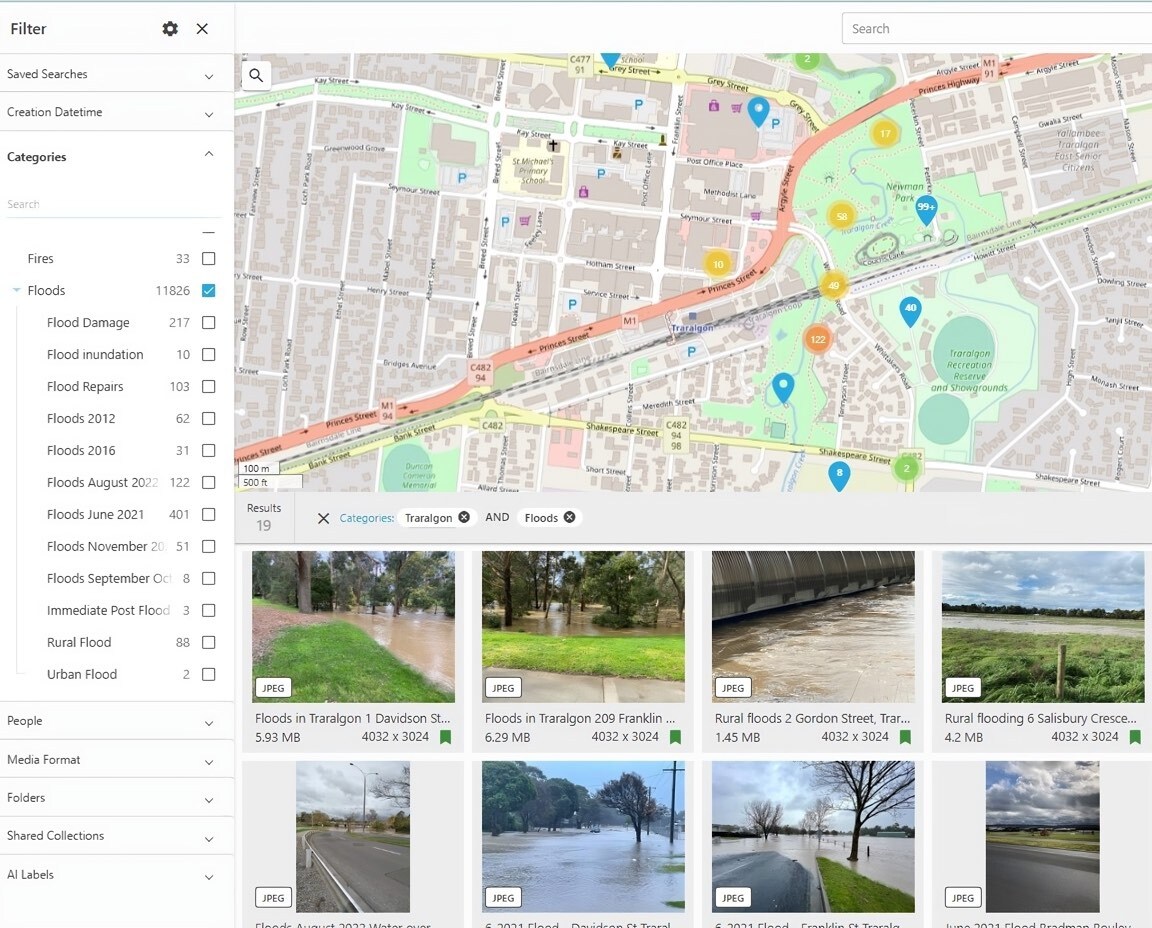
Daminion became the central hub for WGCMA’s photo collection, combining powerful search features with easy collaboration. Photos from field inspections, community events, and natural occurrences such as floods were consolidated into one shared location — eliminating scattered storage across personal devices.
The integration with spatial search inspired more staff to use the system actively. They could now find specific photos directly from a map view, filter by categories, or refine searches with keywords.
The integration with spatial search inspired more staff to use the system actively. They could now find specific photos directly from a map view, filter by categories, or refine searches with keywords.
The thing that’s good about Daminion is that you’ve got multiple ways of being able to search for things. You can search spatially, by keywords, or by filtering them down by categories. That ticks all the boxes for all the different people and how they approach searching.
Cate Reilly
Lead – Business and Systems Analyst, WGCMA
Guiding Land Development with Visual Evidence
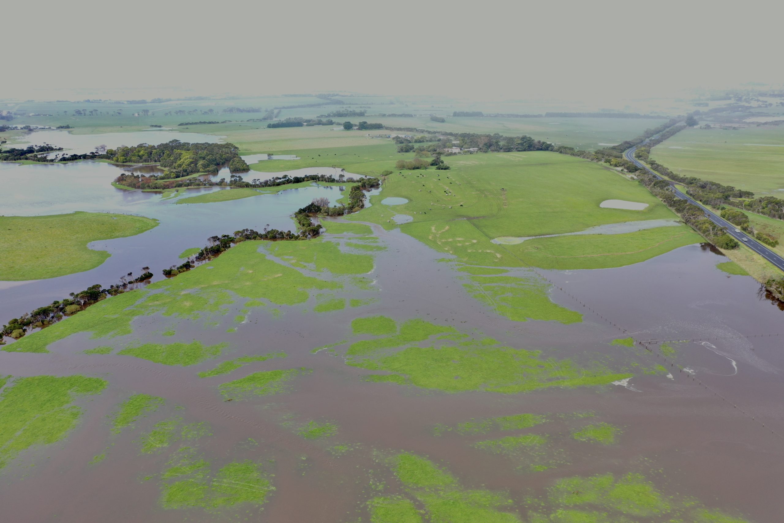
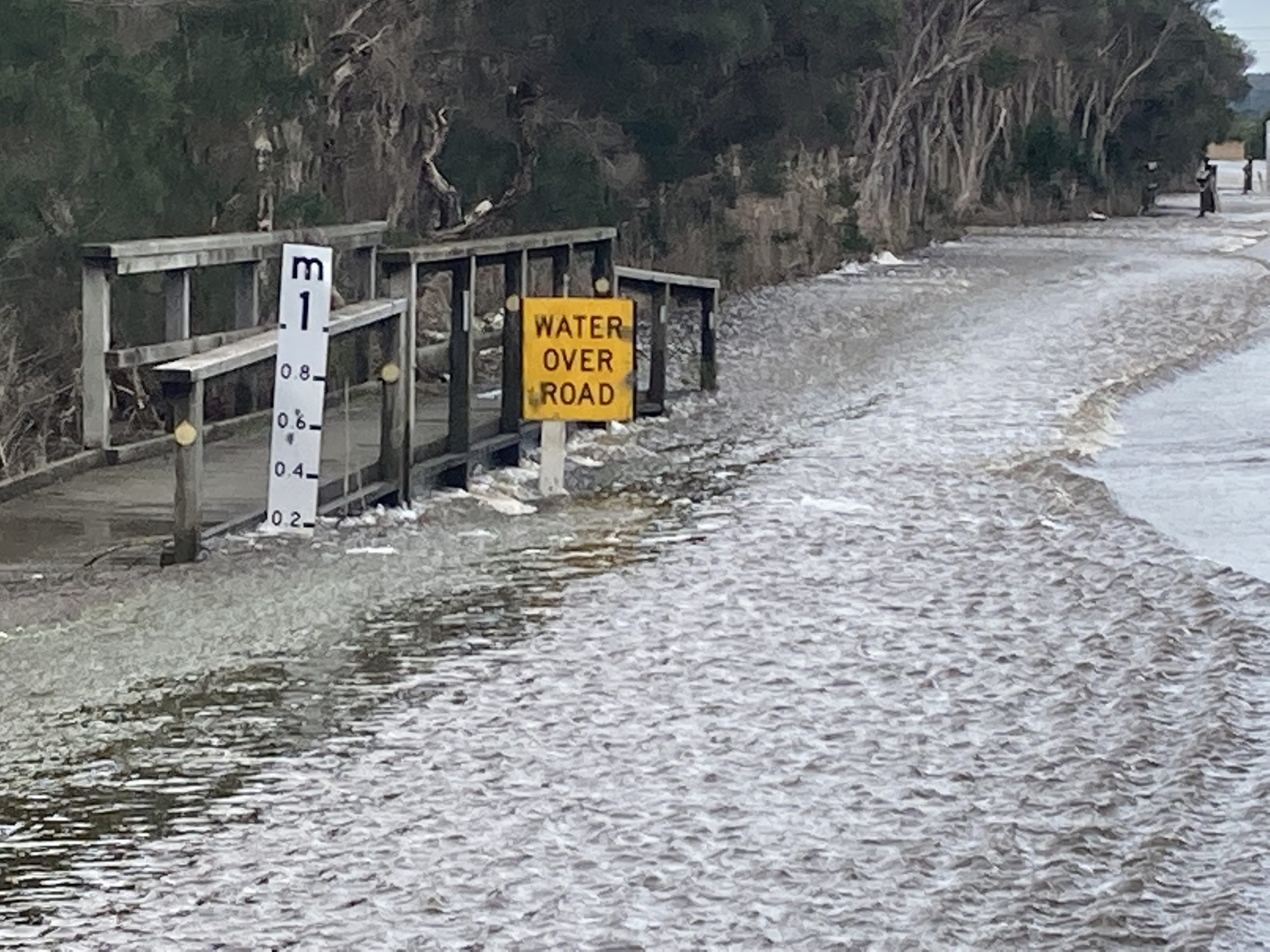
WGCMA plays an essential role in advising local councils, developers, and residents about flood risks and land development. When assessing a property, the team uses Daminion and their GIS tools to examine geographical data and provide evidence-based insights, including past flood instances and water level records.
In situations where developers challenge CMA recommendations, the team uses visual evidence from Daminion — real images of past floods — to support their conclusions and ensure data-driven decision-making.
In situations where developers challenge CMA recommendations, the team uses visual evidence from Daminion — real images of past floods — to support their conclusions and ensure data-driven decision-making.
Daminion’s database access proved invaluable as it allowed us to link photos with our spatial reporting tool Weave. This enabled us to map work sites, create polygons, and efficiently connect photos to relevant areas, enhancing our workflow and data management capabilities.
Cate Reilly
Lead – Business and Systems Analyst
Ensuring Data Integrity and Quality Control
To maintain a high-quality, reliable database, WGCMA uses Required Metadata and Manual Asset Approval features in Daminion. A designated staff member reviews all new uploads, ensuring each asset is properly tagged and categorized before approval.
Despite these structured processes, Daminion remains intuitive and user-friendly — even for occasional users.
Despite these structured processes, Daminion remains intuitive and user-friendly — even for occasional users.
We’ve learned from experience that it’s essential to have well-documented metadata. If required categories and metadata aren’t filled out properly, items don’t get approved.
After not using the tool for some time, staff can usually find their way around without referring to instructions. That’s a real marker that the product is intuitive. You don’t want to have to rely on documentation — and with Daminion, you don’t.
After not using the tool for some time, staff can usually find their way around without referring to instructions. That’s a real marker that the product is intuitive. You don’t want to have to rely on documentation — and with Daminion, you don’t.
Cate Reilly
Lead – Business and Systems Analyst