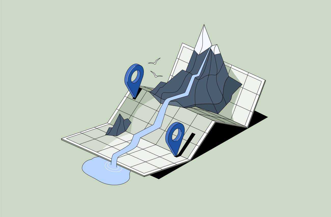
Geolocation search in Digital Asset Management (DAM) allows users to find digital assets based on geographic location. Instead of searching only by keywords or file names, teams can search by place , such as a city, region, site, or map area.
In simple terms, it lets you ask: “What assets do we have from this location?”
Rather than relying on memory or folder structure, users can explore content spatially.
When assets contain location metadata — such as coordinates, place names, or mapped project sites — the DAM system can use that information to power spatial filtering.
Teams can:
This makes finding place-related content faster and more intuitive.
These terms are related but different.
In other words, geotagging prepares the metadata, while geographic search makes it usable. One focuses on adding context. The other focuses on discovering it.
Many organizations manage assets tied to real-world locations:
When libraries grow, searching by project name isn’t always enough. A map-based discovery approach often makes more sense than scanning long file lists.
Location-driven search is especially valuable when:
Being able to visually explore assets on a map reduces confusion and speeds up decision-making.
Daminion supports map-based asset discovery, allowing teams to filter and explore digital assets using geographic information.
This makes it easier to manage location-driven content without relying solely on traditional keyword search.